
Chariton topographic map
Interactive map
Click on the map to display elevation.
About this map
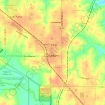
Name: Chariton topographic map, elevation, terrain.
Location: Chariton, Lucas County, Iowa, 50049, United States (40.99870 -93.32778 41.03258 -93.28640)
Average elevation: 308 m
Minimum elevation: 279 m
Maximum elevation: 323 m
The Lucas County Courthouse is the highest point of elevation in the whole town and is located on the Missouri/Mississippi River Divide.