
Bastia Umbra topographic map
Interactive map
Click on the map to display elevation.
About this map
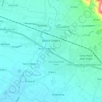
Name: Bastia Umbra topographic map, elevation, terrain.
Location: Bastia Umbra, PG, Ombrie, 06083, Italie (43.03168 12.49043 43.09139 12.57213)
Average elevation: 203 m
Minimum elevation: 179 m
Maximum elevation: 398 m