
Godbrange topographic map
Interactive map
Click on the map to display elevation.
About this map
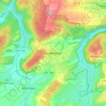
Name: Godbrange topographic map, elevation, terrain.
Location: Godbrange, Canton Grevenmacher, 6150, Luxembourg (49.71481 6.21055 49.75481 6.25055)
Average elevation: 336 m
Minimum elevation: 284 m
Maximum elevation: 417 m