
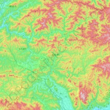
Nantan topographic map
Interactive map
Click on the map to display elevation.
About this map
Name: Nantan topographic map, elevation, terrain.
Location: Nantan, Kyoto Prefecture, Japan (35.02455 135.36873 35.37787 135.79516)
Average elevation: 368 m
Minimum elevation: 44 m
Maximum elevation: 925 m