
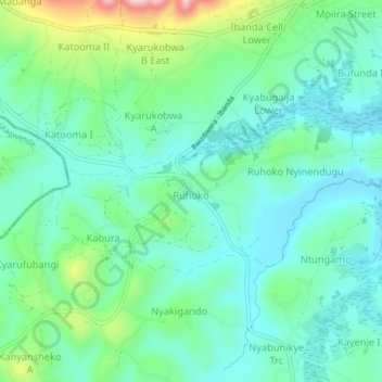
Ruhoko - Nyinendugu topographic map
Interactive map
Click on the map to display elevation.
About this map
Name: Ruhoko - Nyinendugu topographic map, elevation, terrain.
Location: Ruhoko - Nyinendugu, Ibanda, Western Region, Uganda (-0.16502 30.46454 -0.14650 30.50712)
Average elevation: 1,416 m
Minimum elevation: 1,353 m
Maximum elevation: 1,604 m