
Bopser topographic map
Click on the map to display elevation.
About this map
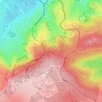
Name: Bopser topographic map, elevation, terrain.
Average elevation: 392 m
Minimum elevation: 251 m
Maximum elevation: 488 m
Other topographic maps
Click on a map to view its topography, its elevation and its terrain.
Stuttgart
Germany > Baden-Württemberg > Stuttgart
Stuttgart covers an area of 207.35 km2 (80 sq mi) and sits at elevation ranging from 207 m (679 ft) above sea level by the Neckar river to 549 m (1,801 ft) on Bernhartshöhe hill – something rather unique in large German cities. The most prominent elevated locales in Stuttgart are the Birkenkopf (511 m…
Average elevation: 353 m