
Gabane topographic map
Interactive map
Click on the map to display elevation.
About this map
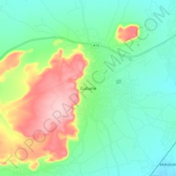
Name: Gabane topographic map, elevation, terrain.
Location: Gabane, Kweneng District, Botswana (-24.70688 25.74033 -24.62688 25.82033)
Average elevation: 1,088 m
Minimum elevation: 1,027 m
Maximum elevation: 1,213 m