
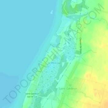
Pointe-du-Lac topographic map
Interactive map
Click on the map to display elevation.
About this map
Name: Pointe-du-Lac topographic map, elevation, terrain.
Average elevation: 104 m
Minimum elevation: 96 m
Maximum elevation: 122 m
Other topographic maps
Click on a map to view its topography, its elevation and its terrain.
La Belle Rivière
Canada > Québec > Saint-Gédéon
La Belle Rivière, Saint-Gédéon, Lac-Saint-Jean-Est, Saguenay–Lac-Saint-Jean, Québec, G0W 2P0, Canada
Average elevation: 228 m