
Yurre topographic map
Interactive map
Click on the map to display elevation.
About this map
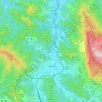
Name: Yurre topographic map, elevation, terrain.
Location: Yurre, Arratia-Nerbioi, Biscaye, Pays basque, 48140, Espagne (43.15416 -2.82056 43.19205 -2.73669)
Average elevation: 231 m
Minimum elevation: 58 m
Maximum elevation: 727 m