
Leonel topographic map
Interactive map
Click on the map to display elevation.
About this map
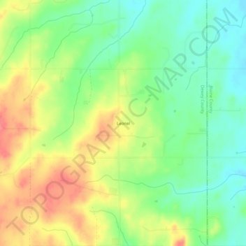
Name: Leonel topographic map, elevation, terrain.
Location: Leonel, Dewey County, Oklahoma, États-Unis d'Amérique (35.97115 -98.67314 36.01115 -98.63314)
Average elevation: 551 m
Minimum elevation: 521 m
Maximum elevation: 587 m