
乐安镇 topographic map
Interactive map
Click on the map to display elevation.
About this map
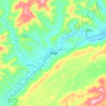
Name: 乐安镇 topographic map, elevation, terrain.
Location: 乐安镇, 安化县, 益阳市, 湖南省, 中国 (28.06499 111.54031 28.14499 111.62031)
Average elevation: 337 m
Minimum elevation: 183 m
Maximum elevation: 646 m
Other topographic maps
Click on a map to view its topography, its elevation and its terrain.