
Morton topographic map
Click on the map to display elevation.
About this map
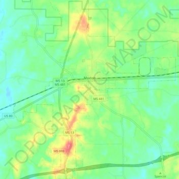
Name: Morton topographic map, elevation, terrain.
Location: Morton, Scott County, Mississippi, 39117, United States (32.30674 -89.69637 32.38991 -89.60728)
Average elevation: 139 m
Minimum elevation: 113 m
Maximum elevation: 190 m
Other topographic maps
Click on a map to view its topography, its elevation and its terrain.