
Guatavita topographic map
Interactive map
Click on the map to display elevation.
About this map
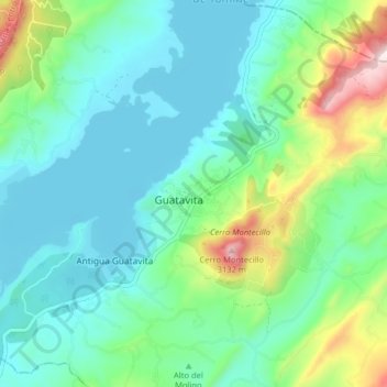
Name: Guatavita topographic map, elevation, terrain.
Location: Guatavita, Colombia (4.89569 -73.87224 4.97569 -73.79224)
Average elevation: 2,720 m
Minimum elevation: 2,579 m
Maximum elevation: 3,179 m