
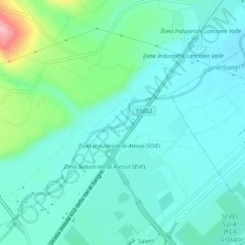
Fiume Sangro topographic map
Interactive map
Click on the map to display elevation.
About this map
Name: Fiume Sangro topographic map, elevation, terrain.
Location: Fiume Sangro, Atessa, Chieti, Abruzzo, Italia (42.15794 14.43636 42.15986 14.44103)
Average elevation: 66 m
Minimum elevation: 36 m
Maximum elevation: 183 m
Other topographic maps
Click on a map to view its topography, its elevation and its terrain.