
Breda topographic map
Interactive map
Click on the map to display elevation.
About this map
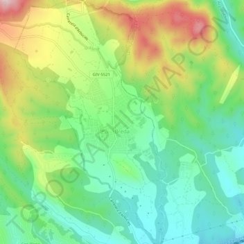
Name: Breda topographic map, elevation, terrain.
Location: Breda, la Selva, Girona, 17400, Spain (41.73069 2.53856 41.76888 2.57049)
Average elevation: 182 m
Minimum elevation: 77 m
Maximum elevation: 363 m