
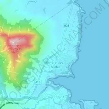
Rivière des Créoles topographic map
Interactive map
Click on the map to display elevation.
About this map
Name: Rivière des Créoles topographic map, elevation, terrain.
Location: Rivière des Créoles, Grand Port, Mauritius (-20.40355 57.66924 -20.37129 57.70470)
Average elevation: 49 m
Minimum elevation: 0 m
Maximum elevation: 359 m
Other topographic maps
Click on a map to view its topography, its elevation and its terrain.