
Куиловец topographic map
Interactive map
Click on the map to display elevation.
About this map
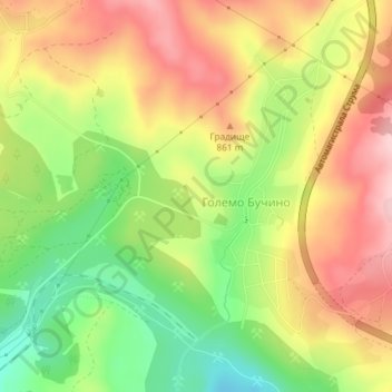
Name: Куиловец topographic map, elevation, terrain.
Location: Куиловец, Големо Бучино, Перник, 2304, Bulgarije (42.62456 23.10507 42.64456 23.12507)
Average elevation: 809 m
Minimum elevation: 703 m
Maximum elevation: 908 m