
Bedghane topographic map
Interactive map
Click on the map to display elevation.
About this map
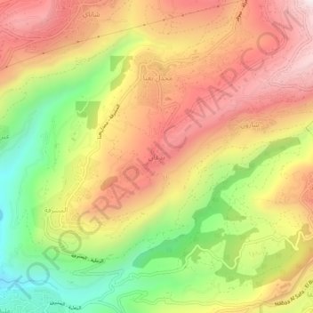
Name: Bedghane topographic map, elevation, terrain.
Location: Bedghane, Aley District, Mount Lebanon Governorate, Lebanon (33.74739 35.65144 33.78739 35.69144)
Average elevation: 968 m
Minimum elevation: 529 m
Maximum elevation: 1,345 m