
Chham (001) topographic map
Interactive map
Click on the map to display elevation.
About this map
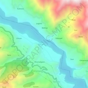
Name: Chham (001) topographic map, elevation, terrain.
Location: Chham (001), Tehri, Tehri Garhwal, Uttarakhand, India (30.49041 78.36333 30.53041 78.40333)
Average elevation: 1,042 m
Minimum elevation: 721 m
Maximum elevation: 1,774 m