
Douroum topographic map
Interactive map
Click on the map to display elevation.
About this map
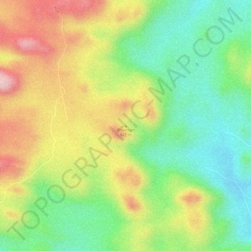
Name: Douroum topographic map, elevation, terrain.
Location: Douroum, Meri, Diamaré, Région de l'Extrême-Nord, Cameroun (10.71621 14.08831 10.71631 14.08841)
Average elevation: 706 m
Minimum elevation: 599 m
Maximum elevation: 830 m