
Sredno Gradishte topographic map
Interactive map
Click on the map to display elevation.
About this map
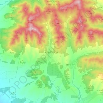
Name: Sredno Gradishte topographic map, elevation, terrain.
Location: Sredno Gradishte, Chirpan, Stara Zagora, Bulgaria (42.26511 25.24557 42.35000 25.30586)
Average elevation: 378 m
Minimum elevation: 190 m
Maximum elevation: 645 m