
Silver Creek Village topographic map
Interactive map
Click on the map to display elevation.
About this map
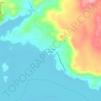
Name: Silver Creek Village topographic map, elevation, terrain.
Location: Silver Creek Village, Burnet County, Texas, United States (30.83546 -98.41503 30.87546 -98.37503)
Average elevation: 347 m
Minimum elevation: 306 m
Maximum elevation: 454 m