
Netzow topographic map
Interactive map
Click on the map to display elevation.
About this map
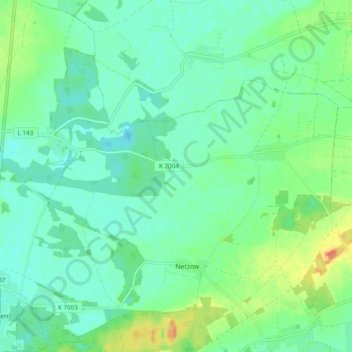
Name: Netzow topographic map, elevation, terrain.
Location: Netzow, Plattenburg, Prignitz, Brandenburg, Deutschland (52.90741 12.08367 52.96586 12.17887)
Average elevation: 46 m
Minimum elevation: 34 m
Maximum elevation: 75 m
Other topographic maps
Click on a map to view its topography, its elevation and its terrain.
Söllenthin
Deutschland > Brandenburg > Prignitz > Plattenburg > Söllenthin
Söllenthin, Netzow, Plattenburg, Prignitz, Brandenburg, Deutschland
Average elevation: 49 m