
Tukkuguda topographic map
Interactive map
Click on the map to display elevation.
About this map
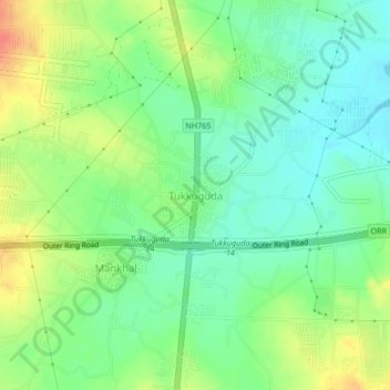
Name: Tukkuguda topographic map, elevation, terrain.
Location: Tukkuguda, Maheswaram mandal, Rangareddy, Telangana, India (17.18904 78.45678 17.22904 78.49678)
Average elevation: 589 m
Minimum elevation: 568 m
Maximum elevation: 621 m
Other topographic maps
Click on a map to view its topography, its elevation and its terrain.
Mankhal
India > Telangana > Maheswaram mandal
Mankhal, Maheswaram mandal, Ranga Reddy District, Telangana, India
Average elevation: 594 m