
Butler topographic map
Click on the map to display elevation.
About this map
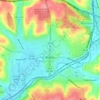
Name: Butler topographic map, elevation, terrain.
Location: Butler, Butler County, Pennsylvania, United States (40.84766 -79.91395 40.87910 -79.87570)
Average elevation: 339 m
Minimum elevation: 299 m
Maximum elevation: 405 m
Other topographic maps
Click on a map to view its topography, its elevation and its terrain.
Glade Mills
United States > Pennsylvania > Butler County > Middlesex Township
Average elevation: 359 m
Butler Farm Show Lake
United States > Pennsylvania > Butler County > Meridian
Average elevation: 392 m