
Orés topographic map
Interactive map
Click on the map to display elevation.
About this map
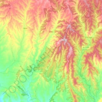
Name: Orés topographic map, elevation, terrain.
Location: Orés, Cinco Villas, Saragoça, Aragão, Espanha (42.18412 -1.05933 42.32159 -0.96102)
Average elevation: 599 m
Minimum elevation: 389 m
Maximum elevation: 835 m
Other topographic maps
Click on a map to view its topography, its elevation and its terrain.