
Stamford topographic map
Interactive map
Click on the map to display elevation.
About this map
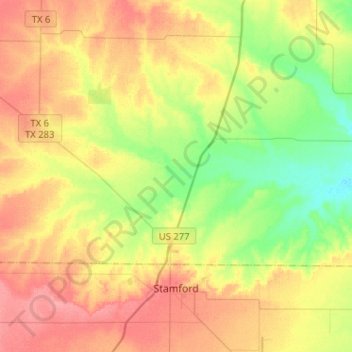
Name: Stamford topographic map, elevation, terrain.
Location: Stamford, Jones County, Texas, 79553, United States (32.92394 -99.81656 33.10006 -99.56070)
Average elevation: 470 m
Minimum elevation: 435 m
Maximum elevation: 505 m
Other topographic maps
Click on a map to view its topography, its elevation and its terrain.
Hawley
United States > Texas > Jones County > Hawley > Hawley
Hawley, Jones County, Texas, 79525, United States
Average elevation: 504 m
Hawley
United States > Texas > Jones County
Hawley, Jones County, Texas, United States
Average elevation: 505 m