
Ansurda topographic map
Interactive map
Click on the map to display elevation.
About this map
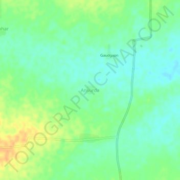
Name: Ansurda topographic map, elevation, terrain.
Location: Ansurda, Osmanabad, Maharashtra, India (18.10459 76.13110 18.14459 76.17110)
Average elevation: 636 m
Minimum elevation: 622 m
Maximum elevation: 657 m
Other topographic maps
Click on a map to view its topography, its elevation and its terrain.
Yedshi
India > Maharashtra > Osmanabad
Yedshi, Osmanabad, Osmanabad District, Maharashtra, 413405, India
Average elevation: 684 m