
Labrada topographic map
Interactive map
Click on the map to display elevation.
About this map
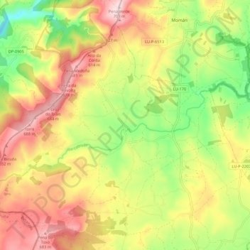
Name: Labrada topographic map, elevation, terrain.
Location: Labrada, Guitiriz, Terra Chá, Lugo, Galice, Espagne (43.27259 -7.94656 43.33579 -7.83934)
Average elevation: 535 m
Minimum elevation: 364 m
Maximum elevation: 705 m