
Malé Kyšice topographic map
Interactive map
Click on the map to display elevation.
About this map
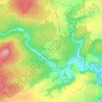
Name: Malé Kyšice topographic map, elevation, terrain.
Location: Malé Kyšice, okres Kladno, Střední Čechy, Chequia (50.04913 14.03863 50.07000 14.09793)
Average elevation: 380 m
Minimum elevation: 297 m
Maximum elevation: 469 m