
La Chamorga topographic map
Interactive map
Click on the map to display elevation.
About this map
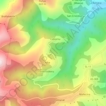
Name: La Chamorga topographic map, elevation, terrain.
Location: La Chamorga, Salas, Asturien, 33866, Spanien (43.44916 -6.27721 43.46916 -6.25721)
Average elevation: 483 m
Minimum elevation: 196 m
Maximum elevation: 789 m
Other topographic maps
Click on a map to view its topography, its elevation and its terrain.
Pico la Curcimera
Pico la Curcimera, Salas, Asturien, Spanien
Average elevation: 611 m