
Than Tho Lake topographic map
Interactive map
Click on the map to display elevation.
About this map
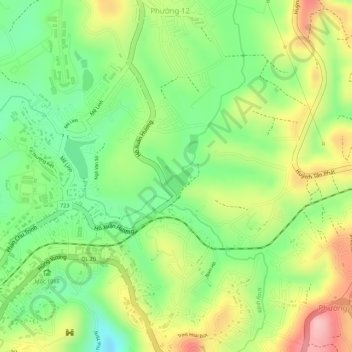
Name: Than Tho Lake topographic map, elevation, terrain.
Average elevation: 1,521 m
Minimum elevation: 1,437 m
Maximum elevation: 1,621 m
Other topographic maps
Click on a map to view its topography, its elevation and its terrain.
Dalat
Vietnam > Lâm Đồng Province > Dalat
Dalat, Đà Lạt District, Lâm Đồng Province, 6700, Vietnam
Average elevation: 1,360 m