
Thank you for supporting this site ❤️
Make a donation
Make a donation
Gear up for your next adventure:
As an Amazon Associate, this site earns from qualifying purchases at no extra cost to you.
Panshet Dam topographic map
Click on the map to display elevation.
Thank you for supporting this site ❤️
Make a donation
Make a donation
Gear up for your next adventure:
As an Amazon Associate, this site earns from qualifying purchases at no extra cost to you.
About this map
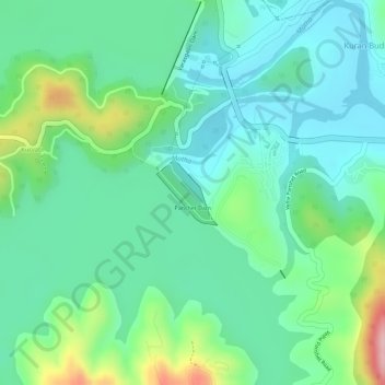
Name: Panshet Dam topographic map, elevation, terrain.
Location: Panshet Dam, Kuran Budruk, Velhe, Maharashtra, India (18.37577 73.61124 18.38034 73.61567)
Average elevation: 633 m
Minimum elevation: 577 m
Maximum elevation: 772 m
Thank you for supporting this site ❤️
Make a donation
Make a donation
Gear up for your next adventure:
As an Amazon Associate, this site earns from qualifying purchases at no extra cost to you.