Geolocate

Chiappera topographic map

Click on the map to display elevation.

About this map
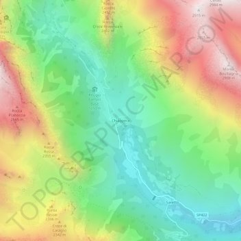
Name: Chiappera topographic map, elevation, terrain.

Location: Chiappera, Acceglio, Cuneo, Piedmont, Italy (44.47218 6.90503 44.51218 6.94503)

Average elevation: 2,032 m

Minimum elevation: 1,451 m

Maximum elevation: 2,892 m

Gear up for your next adventure:

🔥Reusable Hand Warmers - Maintain dexterity in your fingers for precise map handling
🎒Replacement Sternum Straps - Repair parts for hiking rucksacks
🧼Technical Clothing Wash - Special soap to clean and restore waterproof membranes
📻Hand-Crank Emergency Radios - Stay updated on weather warnings in remote areas
🔥Emergency Fire Starters - Reliable ignition tools for survival situations in damp conditions

As an Amazon Associate, this site earns from qualifying purchases at no extra cost to you.