Geolocate

Libolo topographic map

Click on the map to display elevation.

About this map

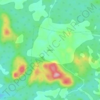
Name: Libolo topographic map, elevation, terrain.

Location: Libolo, Éséka, Nyong-et-Kéllé, Centre, Cameroon (3.81892 10.88478 3.85892 10.92478)

Average elevation: 402 m

Minimum elevation: 341 m

Maximum elevation: 551 m

Gear up for your next adventure:

🔋Lithium AA Batteries - Long-lasting power that performs well in cold mountain weather
📻Hand-Crank Emergency Radios - Stay updated on weather warnings in remote areas
👖Packable Overtrousers - Quick-deploy rain protection for legs in sudden storms
🧼Camping Hygiene Kits - Compact hygiene essentials for outdoor stays
🦶Anti-Blister Balms - Protect your feet before long topographic expeditions

As an Amazon Associate, this site earns from qualifying purchases at no extra cost to you.