
Desdunes topographic map
Interactive map
Click on the map to display elevation.
About this map
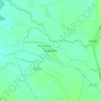
Name: Desdunes topographic map, elevation, terrain.
Average elevation: 6 m
Minimum elevation: 1 m
Maximum elevation: 11 m
The plain of Artibonite (125 000 ha) (or 483 sq. mi.) is the country's real grain store. It opens to the sea to the west and the mountains (500 to 1000 m altitude) to the east. This vast plain extends at an average altitude of 8 m below sea level. The soil geology is generally calcareous (high in calcium) of alluvial type (considered the most fertile) very deep (1.5 m) and strongly argillaceous (consisting of clay minerals). This type of land is favorable to rice growing.