
Loureda topographic map
Interactive map
Click on the map to display elevation.
About this map
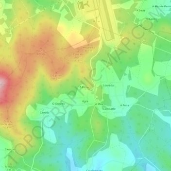
Name: Loureda topographic map, elevation, terrain.
Location: Loureda, Boqueixón, Santiago, A Coruña, Galicië, Spanje (42.85921 -8.44687 42.88693 -8.39235)
Average elevation: 326 m
Minimum elevation: 221 m
Maximum elevation: 488 m