Geolocate

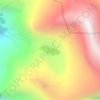
Pangarchulla topographic map

Click on the map to display elevation.

About this map
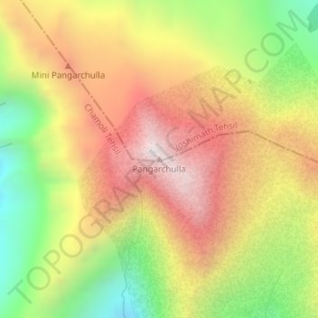
Name: Pangarchulla topographic map, elevation, terrain.

Location: Pangarchulla, Joshimath Tehsil, Chamoli, Uttarakhand, 246483, India (30.42362 79.59209 30.42372 79.59219)

Average elevation: 4,061 m

Minimum elevation: 3,494 m

Maximum elevation: 4,570 m

Other topographic maps

Click on a map to view its topography, its elevation and its terrain.
Hemkund

India > Uttarakhand > Joshimath Tehsil

Average elevation: 4,367 m

Mana

India > Uttarakhand > Joshimath Tehsil

Average elevation: 4,959 m

Saraswati

India > Uttarakhand > Joshimath Tehsil > Mana

Average elevation: 5,393 m

Nanda Ghunti Glacier

India > Uttarakhand > Joshimath Tehsil

Average elevation: 5,086 m

Gear up for your next adventure:

🧗Locking Carabiners - Secure gear to your pack or for light technical use
🧤Waterproof Overmitts - Extreme weather protection for hikers and mountaineers
🚲Bikepacking Frame Bags - Storage for tools and navigation gear on long off-road rides
🧰Survival Kits - Emergency tools for remote environments
🛰️Outdoor GPS Navigation - Navigation devices for remote and off-grid areas

As an Amazon Associate, this site earns from qualifying purchases at no extra cost to you.