
Village of Lomond topographic map
Interactive map
Click on the map to display elevation.
About this map
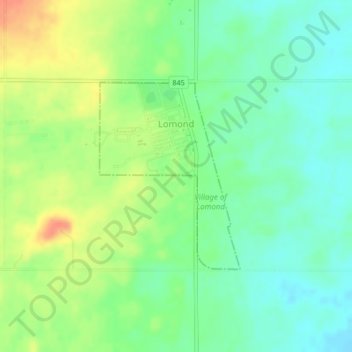
Name: Village of Lomond topographic map, elevation, terrain.
Location: Village of Lomond, Vulcan County, Alberta, Canada (50.33924 -112.65070 50.35361 -112.63380)
Average elevation: 874 m
Minimum elevation: 855 m
Maximum elevation: 901 m