
Nalunega topographic map
Interactive map
Click on the map to display elevation.
About this map
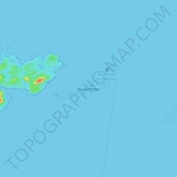
Name: Nalunega topographic map, elevation, terrain.
Location: Nalunega, Narganá, Distrito Gaigirgordub, Guna Yala, Panama (9.51028 -78.99520 9.59028 -78.91520)
Average elevation: 1 m
Minimum elevation: -1 m
Maximum elevation: 49 m