Geolocate

Point Pelee topographic map

Click on the map to display elevation.

About this map
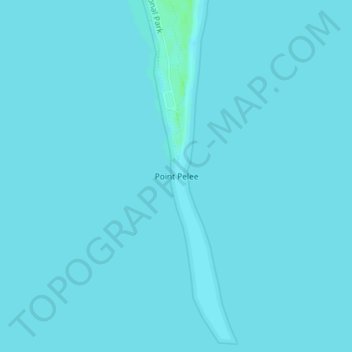
Name: Point Pelee topographic map, elevation, terrain.

Location: Point Pelee, Leamington, Essex County, Southwestern Ontario, Ontario, Canada (41.90881 -82.50942 41.90891 -82.50932)

Average elevation: 172 m

Minimum elevation: 171 m

Maximum elevation: 178 m

Other topographic maps

Click on a map to view its topography, its elevation and its terrain.

Gear up for your next adventure:

🪢Paracord - Multi-purpose cord for camping and survival
☕Insulated Travel Mugs - Keep drinks hot while surveying the landscape from a summit
🧥Waterproof Hiking Jackets - Rain protection for walking in all weather conditions
❄️Walking Crampons - Added traction for icy slopes and winter peak bagging
🗺️Ordnance Survey Maps - Official UK maps for walking and outdoor activities

As an Amazon Associate, this site earns from qualifying purchases at no extra cost to you.