
Serghine topographic map
Interactive map
Click on the map to display elevation.
About this map
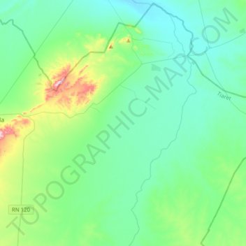
Name: Serghine topographic map, elevation, terrain.
Location: Serghine, Ksar Chellala District, Tiaret, Algeria (35.08661 2.36087 35.33426 2.67085)
Average elevation: 783 m
Minimum elevation: 706 m
Maximum elevation: 1,118 m