
Norton Canon topographic map
Interactive map
Click on the map to display elevation.
About this map
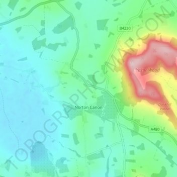
Name: Norton Canon topographic map, elevation, terrain.
Location: Norton Canon, Herefordshire, England, United Kingdom (52.10245 -2.94086 52.15149 -2.89564)
Average elevation: 115 m
Minimum elevation: 60 m
Maximum elevation: 295 m