
Banjaran topographic map
Interactive map
Click on the map to display elevation.
About this map
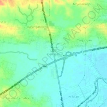
Name: Banjaran topographic map, elevation, terrain.
Location: Banjaran, Gresik, 6162, Indonesia (-7.38080 112.55168 -7.34080 112.59168)
Average elevation: 24 m
Minimum elevation: 10 m
Maximum elevation: 53 m