
Derby topographic map
Interactive map
Click on the map to display elevation.
About this map
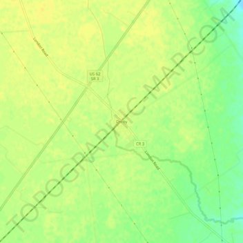
Name: Derby topographic map, elevation, terrain.
Location: Derby, Pickaway County, Ohio, 43117, États-Unis d'Amérique (39.74867 -83.22575 39.78867 -83.18575)
Average elevation: 278 m
Minimum elevation: 263 m
Maximum elevation: 284 m