
Ghansi topographic map
Interactive map
Click on the map to display elevation.
About this map
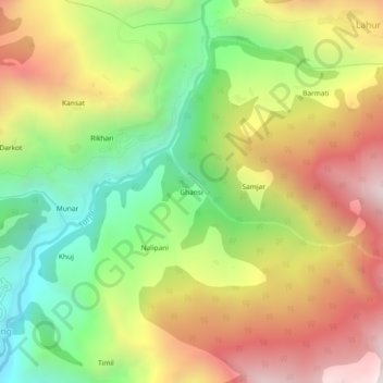
Name: Ghansi topographic map, elevation, terrain.
Location: Ghansi, Kapkot, Bageshwar, Indien (30.02978 79.95877 30.06978 79.99877)
Average elevation: 1,978 m
Minimum elevation: 1,344 m
Maximum elevation: 2,681 m