
Herent topographic map
Interactive map
Click on the map to display elevation.
About this map
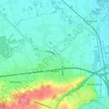
Name: Herent topographic map, elevation, terrain.
Location: Herent, Leuven, Vlaams-Brabant, 3020, België (50.88537 4.64540 50.93598 4.70249)
Average elevation: 29 m
Minimum elevation: 10 m
Maximum elevation: 92 m