
Schiplaken topographic map
Interactive map
Click on the map to display elevation.
About this map
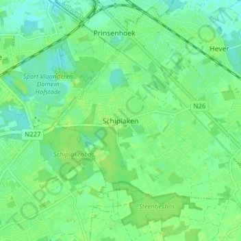
Name: Schiplaken topographic map, elevation, terrain.
Location: Schiplaken, Boortmeerbeek, Leuven, Vlaams-Brabant, 3191, België (50.96060 4.50922 51.00060 4.54922)
Average elevation: 9 m
Minimum elevation: 2 m
Maximum elevation: 14 m