
La Cure topographic map
Interactive map
Click on the map to display elevation.
About this map
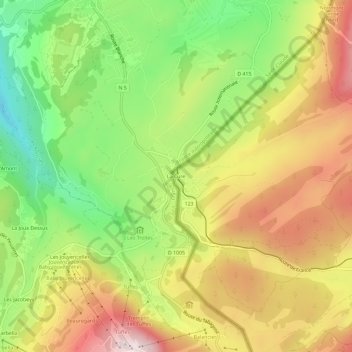
Name: La Cure topographic map, elevation, terrain.
Location: La Cure, Saint-Cergue, District de Nyon, Vaud, 1265, Suisse (46.44497 6.05342 46.48497 6.09342)
Average elevation: 1,174 m
Minimum elevation: 936 m
Maximum elevation: 1,421 m