
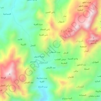
الغديرة topographic map
Interactive map
Click on the map to display elevation.
About this map
Name: الغديرة topographic map, elevation, terrain.
Location: الغديرة, Al Mahrur, Hazm al Udayn, Gouvernorat d'Ibb, Yémen (14.03088 43.91702 14.07088 43.95702)
Average elevation: 1,441 m
Minimum elevation: 1,144 m
Maximum elevation: 1,833 m